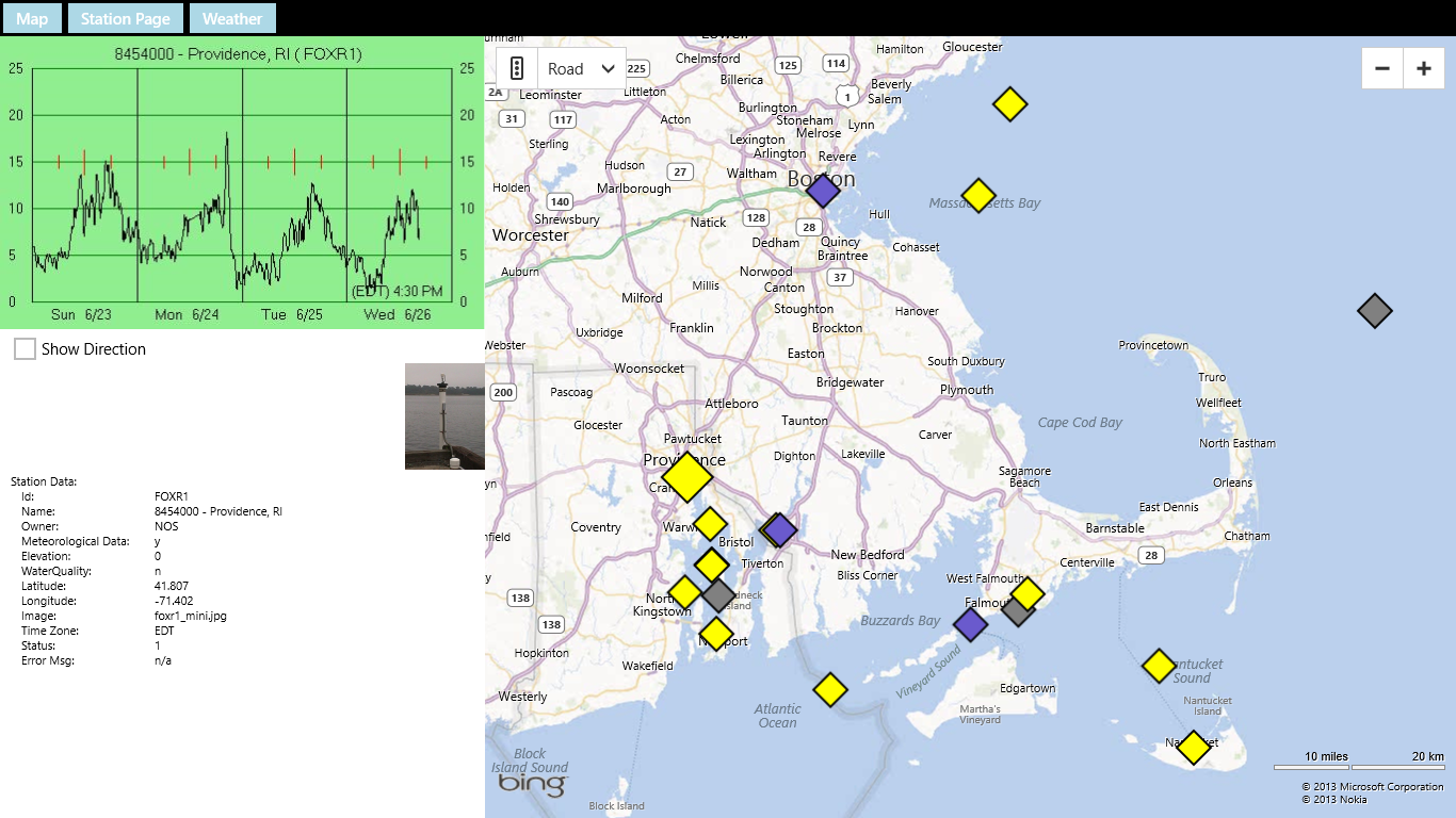
YachtWinds displays the location of NOAH weather stations on a Bing Map. Mostly these are buoys out on the water. But some stations are on land near the water, on lighthouses, towers, platforms etc. In some cases we provide a picture of the station.
The stations are indicated by diamonds on the map. Yellow diamonds indicate stations that we have tested and at that time were producing the data YachtWinds uses and in a format YachtWinds understands. Gray diamonds indicate stations that NOAA said were not producing data when we checked. They may be producing data now (sometimes stations break down and then get fixed). Blue diamonds represent stations that NOAA indicated were good but we could not use for some reason. For example BHBM3 in Boston harbor is producing data but not wind data. When a station is not marked as good (yellow) the reason is shown in the lower left of the screen. Even when a station is not yellow you can usually get the station page and weather forecast.
When you tap or click a station it becomes selected and is shown larger on the screen.
The graph updates with the data from that station and the station properties are shown in the lower left.
Most stations have a web page with additional data. You can access that using the Station Page button at the upper left of the screen. There is also a button to obtain a weather forecast for the area around the station.
The last station you visit will become the Live Tile for the application on the Windows Start Screen.
That allows you to get the graph for one station without even opening the app.
YachtWinds was written by Jack Cole. Jack sails a 36 ft. Catalina out of East Greenwich RI which is only 5 miles from NOAA station QPTR1.
Refer questions and comments to
support@YachtWinds.com.